Silent Lake

Kawarthas

Past peakPeak Oct 14–Oct 22 · ±1.5 days

Source: Ontario Parks Fall Colour Report, Oct 16 · 90% colour change at Silent Lake

Quiet alternative to the Highway 60 crowds.

Last chance

Gusts near 52 km/h on Oct 24 will strip a lot of this canopy.

Reports from the ground

File a report from here
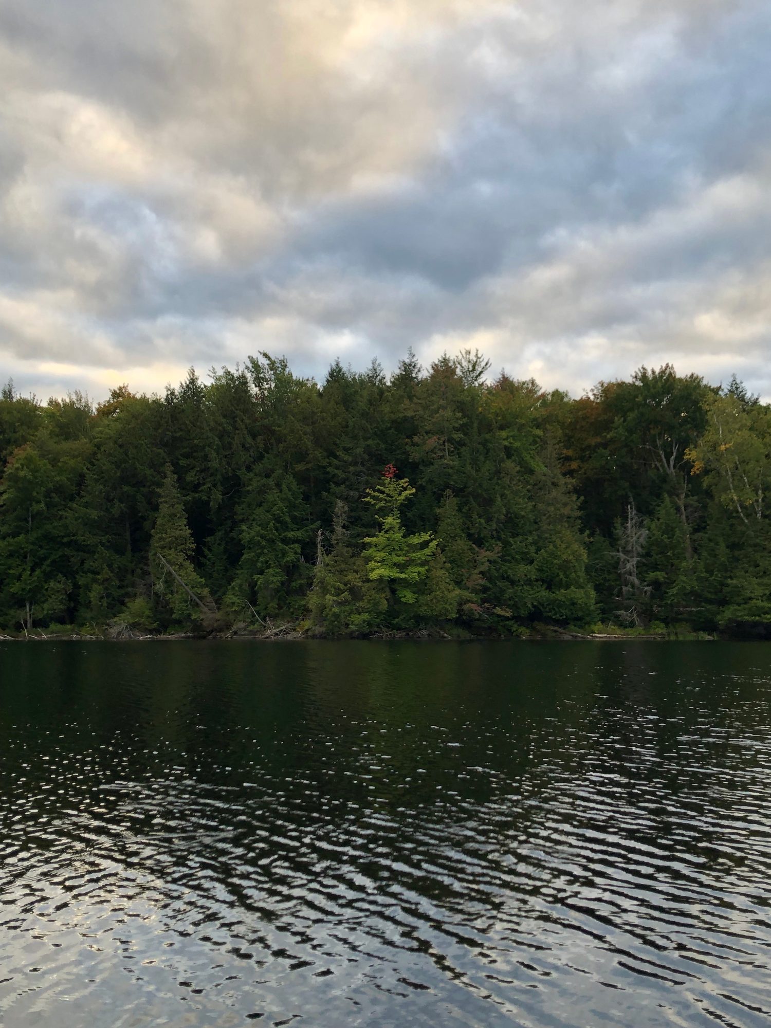
Fall colour at Silent Lake on 2026-09-20
StartingPublic report

it's begun!

Anonymous · observed Sep 20

The season curve

Sep 1–Nov 2 2026

Colour change, percent

Observed Predicted Confidence band Camera index

0255075100Peak windowCamera index (less green → more colour)Today, Oct 19Predicted →Sep 1Sep 15Sep 29Oct 13Nov 2ontariofall.com
Solid line: colour change reported by Ontario Parks, weekly, latest Oct 16. Dashed line: the ontariofall.com model, run Oct 19, with the confidence band widening as the forecast reaches further out. Green dotted: our camera colour index, inverted so less green reads as more colour and stretched across its own observed range, so read its shape rather than its height against the percentage axis. Weather by Open-Meteo, CC BY 4.0. Free to republish with credit and a link.

The next 3 weekends here

Out of 10, colour and weather combined. The notch on each bar marks 8.0, the point where colour is at peak and the weather is behaving.

  1. Oct 24 – Oct 25

    Not worth the drive. Past peak on Oct 24, mixed sun and cloud.

    3.3

  2. Oct 31 – Nov 1

    Not worth the drive. Past peak on Oct 31, wet.

    1.6

  3. Nov 7 – Nov 8

    Not worth the drive. Past peak on Nov 7, no weather forecast yet.

    2.3

What is moving this forecast
  • Cold nights: 33 so far against a normal pace of 6 (-10 days).
  • September temperature anomaly: -0.7°C (0 days).
  • Summer rainfall: 272 mm against a normal 276 mm (-0.2 days).
  • Hard frosts: 0 (0 days).
  • Observations assimilated: 8 (+22.1 days).
  • Net shift from the historical baseline: +11.9 days.

Weather data by Open-Meteo.com, CC BY 4.0 · every coefficient is published in the methodology

See for yourself

Live view from Highway 118 West of Essonville Line (Looking South)
Nearest camera: Highway 118 West of Essonville Line (Looking South), 22 km away, not at the location. Camera: Ontario 511, Ontario Ministry of Transportation · Ontario 511 open data. Attribution required.

Sources for this page

Last updated Mon, October 19, 2026.

More on when to come

Be there for it