Approaching peak✓ Verified on the ground
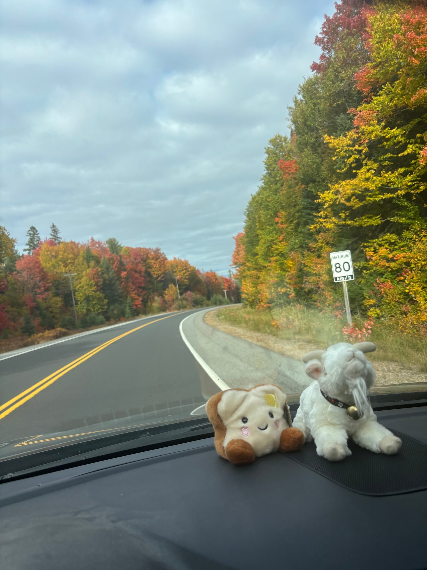
Noticeable fall colours from just past Minden through to Algonquin on highways 35 & 60.
Highlands
Source: Ontario Parks Fall Colour Report, Oct 14 · 100% colour change at Oxtongue River-Ragged Falls
Roadside falls on the Algonquin west approach.
Last chance
Gusts near 63 km/h on Oct 24 will strip a lot of this canopy.
Noticeable fall colours from just past Minden through to Algonquin on highways 35 & 60.
Sep 1–Nov 2 2026
Colour change, percent
Observed Predicted Confidence band Camera index
Out of 10, colour and weather combined. The notch on each bar marks 8.0, the point where colour is at peak and the weather is behaving.
Oct 24 – Oct 25
Not worth the drive. Past peak on Oct 24, mixed sun and cloud.
1.3
Oct 31 – Nov 1
Not worth the drive. Past peak on Oct 31, wet.
0.1
Nov 7 – Nov 8
Not worth the drive. Past peak on Nov 7, no weather forecast yet.
2.0
Weather data by Open-Meteo.com, CC BY 4.0 · every coefficient is published in the methodology
Last updated Mon, October 19, 2026.
Hiking and paddling weekends run by Wilderness Union, a Toronto outdoor community for ages 18 to 45. Transport, gear and guides included.
See the adventuresOr see every fall trip in date order, with the colour forecast for each destination.
 See the adventures